A walk along the Polson waterfront
Polson sits where Flathead Lake narrows into a bay and spills into the river. Walk its shore for parks, a bridge, a mountain wall and a town that keeps working all year.

lens
Montanabw · CC BY-SA 3.0
Polson is the town at the foot of Flathead Lake, the place where twenty-odd miles of open water squeeze into a bay and then pour out as the Flathead River. It is the seat of Lake County and lies within the Flathead Indian Reservation, home of the Confederated Salish and Kootenai Tribes. Most people pass through on US 93 on their way north to Glacier. If you stop and walk the shore instead, you get the clearest sense of how the lake, the river and the mountains fit together.
The walk below is loose rather than mapped to the yard. It follows the bay from the downtown blocks out to the river bridge, with side trips to the parks along the way. Give it two or three hours with stops, longer on a hot day when the water pulls you in.
The bay at the bottom of the lake
Stand anywhere on the downtown shore and look north. The lake runs away from you for close to thirty miles, and on a clear day you can follow the line of the Swan Range up the east side until it fades. To the right, south-east, the Mission Mountains rise straight off the valley floor, often holding snow into early summer. That view is the reason the town grew up here, and it is still the reason to slow down.
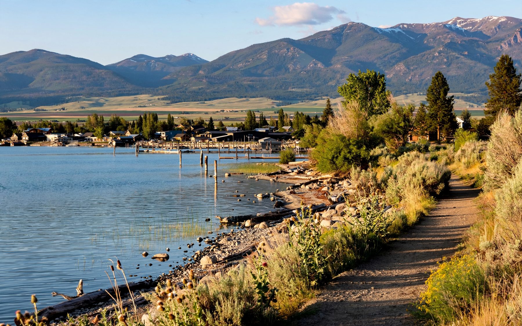
Polson Bay is shallow compared with the main lake, which is why it warms a little earlier in summer and why it is the first part of the lake to skin over with ice in a hard winter. Boats come and go from the docks along the bay all season. In the morning the water is often glassy; by mid-afternoon a breeze usually comes up the lake and the surface turns to ruffled grey and white.
The town itself climbs gently up from the water. Main Street runs a few blocks back from the shore, and the side streets between the two are good for a short loop: older brick fronts, a courthouse, churches, houses with deep porches facing the lake. It is a working town as much as a summer one, with schools, offices and the business of the county going on behind the sunshades.
Parks along the shore
Several public parks line the waterfront, and the walk strings them together. Close to downtown, the lakeside parks give you grass, shade trees, picnic tables and a gravel or sand beach where families wade on summer afternoons. Further along there are spots with docks and benches where you can sit and watch sailboats tack across the bay. Signs at each park list the current rules for swimming areas, dogs and fires; they differ from place to place and can change, so read them as you go.
- Early morning: the calmest water and the softest light on the Missions. Bring coffee and a jacket; even in July the air off the lake is cool before eight.
- Midday: the busiest time on the beaches. The bay is the easiest place on the south end to get your feet wet.
- Evening: the sun drops behind the hills to the west and lights up the far shore and the mountains in orange.
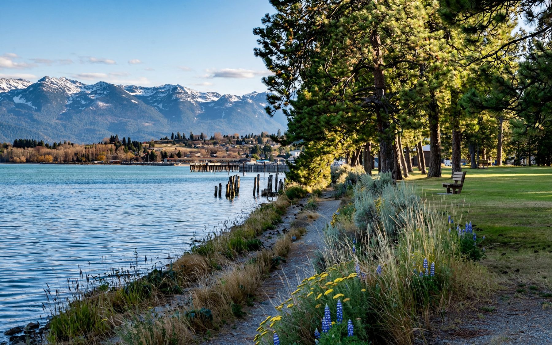
If you only have an hour, walk from downtown to the nearest park, sit on the shore and watch the light change on the mountains. That is most of what Polson has to say, said quietly.
That view is the reason the town grew up here, and it is still the reason to slow down.
The bridge and the river outlet
The highway bridge on the west side of town crosses the Flathead River just below the point where it leaves the lake. Walk to it and you see the shift in a few hundred yards: the wide, slow bay narrows, the current picks up, and the river slides off south-west towards the hills. A few miles downstream it drops into a rocky gorge at the dam the Tribes now own and run, the Seliš Ksanka Qlispe' Dam, still known to many by its old name, Kerr Dam. The gorge overlook below the dam is a short drive from town and a good add-on to this walk.
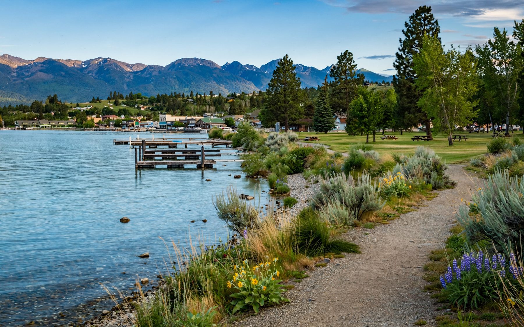
From the bridge you can also see how much the lake level matters here. The dam holds the top of the lake within a managed range through the year, raising it in early summer and lowering it again in autumn and winter. In late spring the docks float high and the beaches are narrow; by early spring of the next year, after the winter drawdown, wide stretches of cobble and sand lie exposed along the shore.
Take care on the bridge itself. Traffic is steady on the highway, and the walkway is the place to be, not the shoulder.
7Yellow Bay and the orchardsHow cold, how clear: the water of Flathead LakeSummer in town, winter on the bay
Summer is the obvious season. From late June the bay fills with boats, the parks fill with picnics, and the roadsides north of town start showing signs for cherries, which ripen roughly from late July to mid-August on the east shore. Stands along the highway between Polson and Bigfork are part of the summer routine; the east-shore cherry belt has its own story.
The heat is dry and the evenings cool off fast, so a warm layer belongs in your bag even in August. Smoke from wildfires elsewhere in the West can haze the view in late summer; on those days the Missions fade to a soft outline and the light turns copper. Check air quality before you plan a long day outside.
Winter is quieter and, for some, better. The crowds go, the parks empty, and the Missions turn white from top to bottom. In a cold spell, ice can form on the bay while the main lake stays open, giving you a sharp line between frozen white and dark moving water. Do not walk out on the ice unless local conditions are known to be safe; the lake is deep and the ice on it is unpredictable. The roads are kept open, but snow and black ice are common, so drive slowly and carry winter gear.
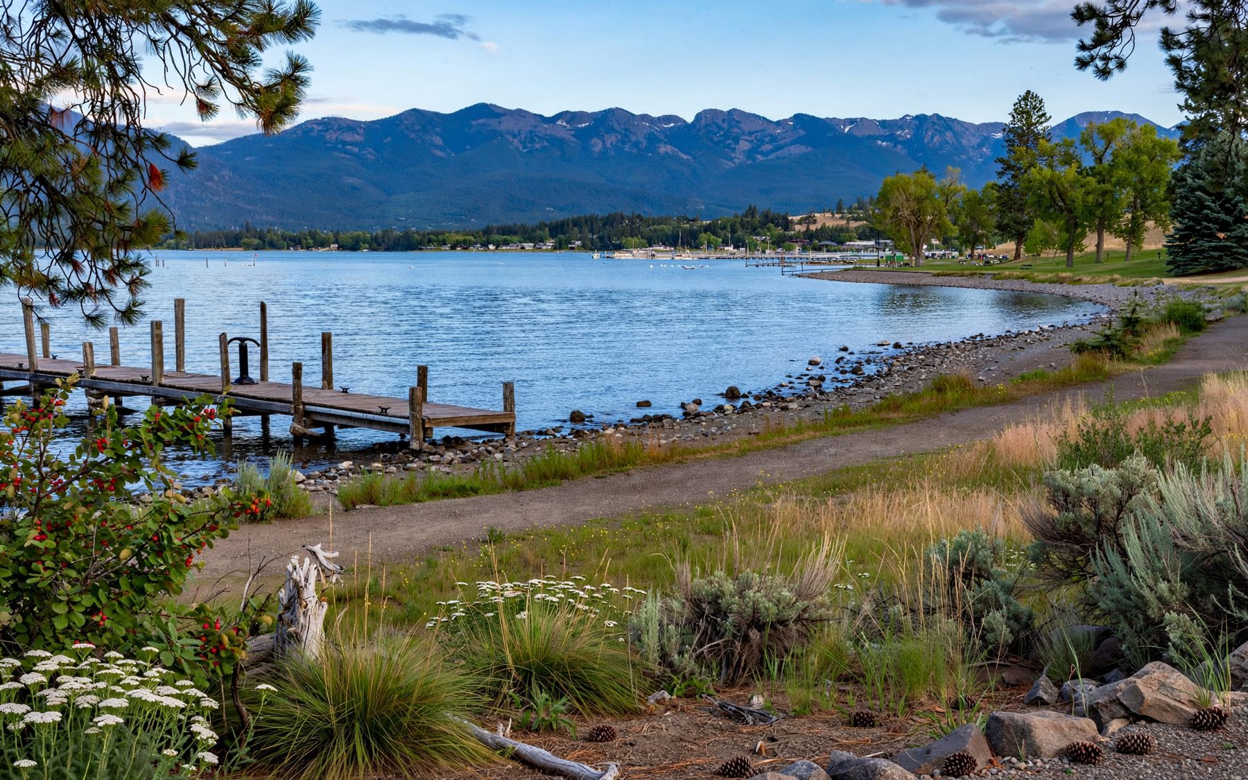
Spring and autumn are short and changeable. In May the valley turns green while the mountains still hold snow, and in October the cottonwoods along the river go yellow. Both are good walking months if you dress for rain.
On the reservation, and what that means for you
Polson lies within the Flathead Indian Reservation, and the Confederated Salish and Kootenai Tribes govern much of the land and water around you. The southern half of the lake is within the reservation boundary. For a walk in town and on the public waterfront, nothing special is needed. If you plan to fish, hunt, camp or otherwise use tribal lands, you generally need a tribal permit, and fishing on the reservation's part of the lake has its own rules. Check the current requirements before you go.
Beyond the paperwork, a little awareness goes a long way. The Salish, Pend d'Oreille and Kootenai peoples have lived in this valley far longer than any town has stood on the bay, and their history is woven through the place names, the land and the seasons of the valley. Further south, the Tribes also manage the Bison Range under the Mission Mountains, restored to them in 2022.
Stretching it to a full day
Polson works well as the start of a loop around the lake. Head up the west shore through Big Arm and Elmo, where the views open across the water, or go up the east side through the orchard country towards Bigfork. Either way, start with the walk: an hour on the Polson shore sets the shape of the lake in your head, and every view after that makes more sense.
- Morning walk on the bay and coffee in town.
- A short drive to the dam overlook and back.
- Lunch in a lakeside park, then a swim.
- Late afternoon drive north along the small bays on the west shore, back for sunset on the bay.
Whatever you choose, leave room for the end of the day on the water at Polson. The bay goes still, the mountains catch the last light, and the town turns its lights on along the shore.