Polson
The town at the foot of the lake, where the Flathead River leaves it through a narrow gorge.
A walk along the Polson waterfrontCherries ripen late July into August. The larches on the hills turn gold in mid-October.
Flathead is one of the largest natural freshwater lakes in the West, ringed by two highways in a loop of about 85 miles. This guide starts in Polson, goes up the west shore, crosses the top at Somers and comes down through the cherry orchards on the east side.
The town at the foot of the lake, where the Flathead River leaves it through a narrow gorge.
A walk along the Polson waterfrontA wide pebble bay facing the island, with the calmest water on windy afternoons.
Wild Horse Island: bighorn sheep and a swimSmall bays, a long view to the Mission Range and the launch for Wild Horse Island.
Elmo and Dayton: small bays on the west shoreDocks, a quiet bay and the ridge roads up to Blacktail Mountain.
Blacktail Mountain's view over the whole lakeThe old lumber town at the lake's northern tip, and the river delta beside it.
Somers and the north-shore wetlandsLake McDonald and the cedar forest at the west end of the Going-to-the-Sun Road.
Lake McDonald's coloured stones, before the crowds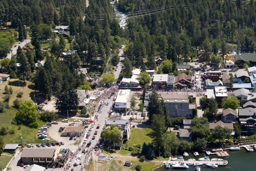
Katie Brady from Missoula, Montana, United States · CC BY-SA 2.0
Where the Swan River tumbles into the lake, with a village of galleries above the bay.
The Swan River trail on a fall morningThe cherry belt: roadside stands from late July, steep slopes running down to the water.
A Flathead cherry morning, stand to standA long thumb of land into the lake, with a small state park at the tip.
Sunset swims at Finley PointOpen range under the Mission Mountains, the Bison Range and the mission church at St. Ignatius.
The Bison Range under the Mission Mountains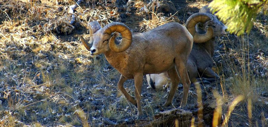
Aneil Lutchman · CC BY-SA 2.0
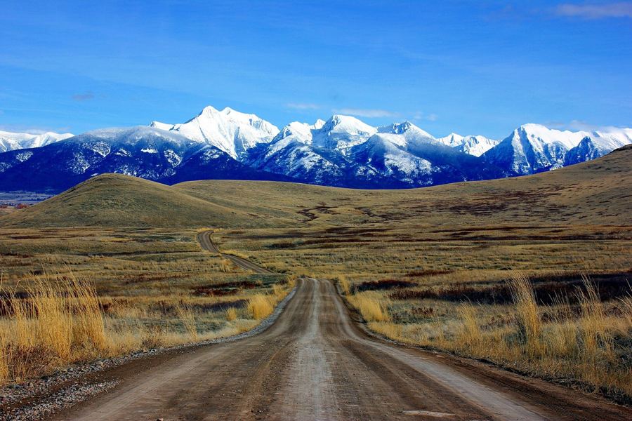
Jaix Chaix · CC BY-SA 2.0
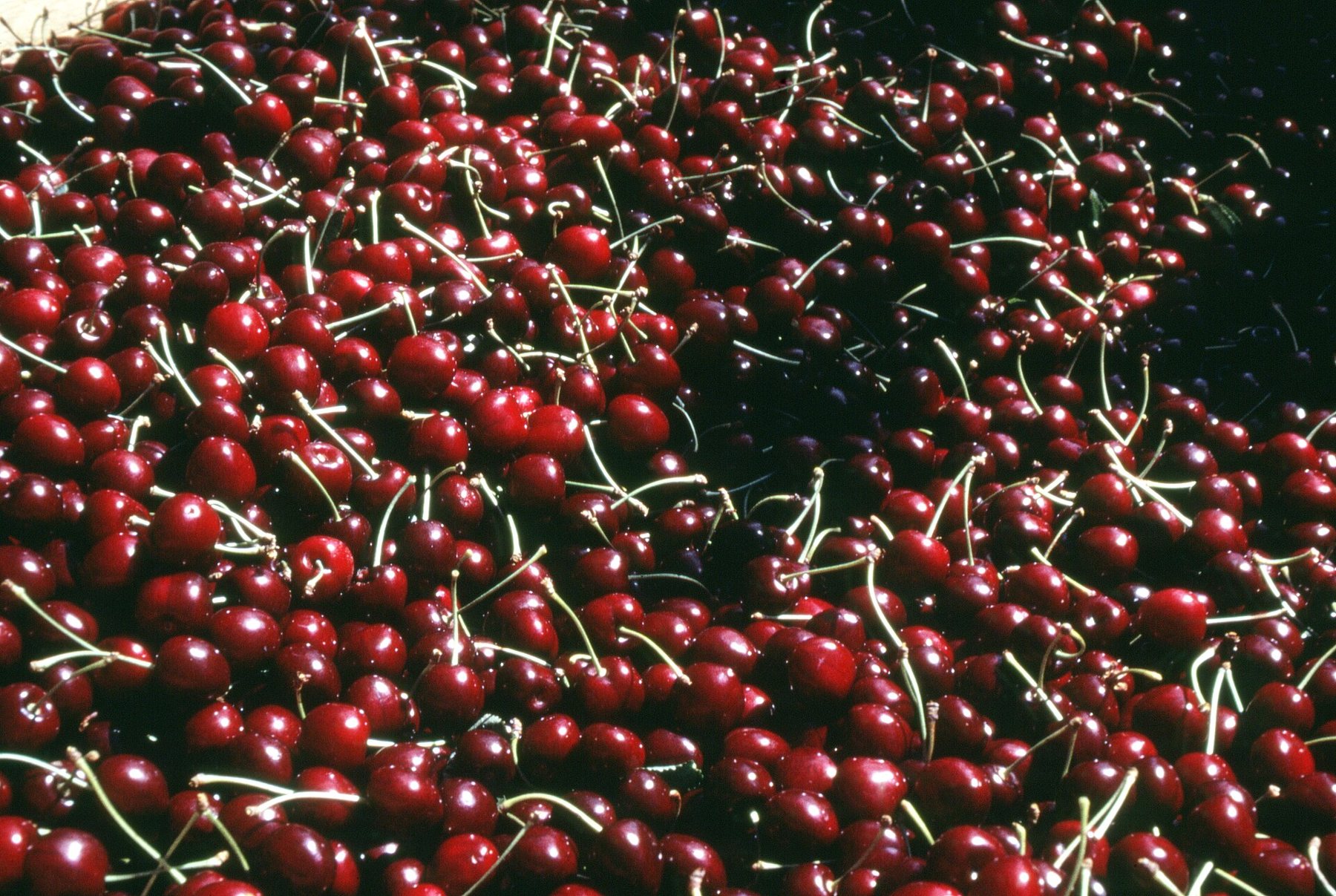
USDA NRCS · Public domain
Chris Light · CC BY-SA 4.0
