Elmo and Dayton: small bays on the west shore
Two small communities on the reservation's stretch of the west shore, where the highway runs close to the water and the whole Mission Range lines up across the lake.
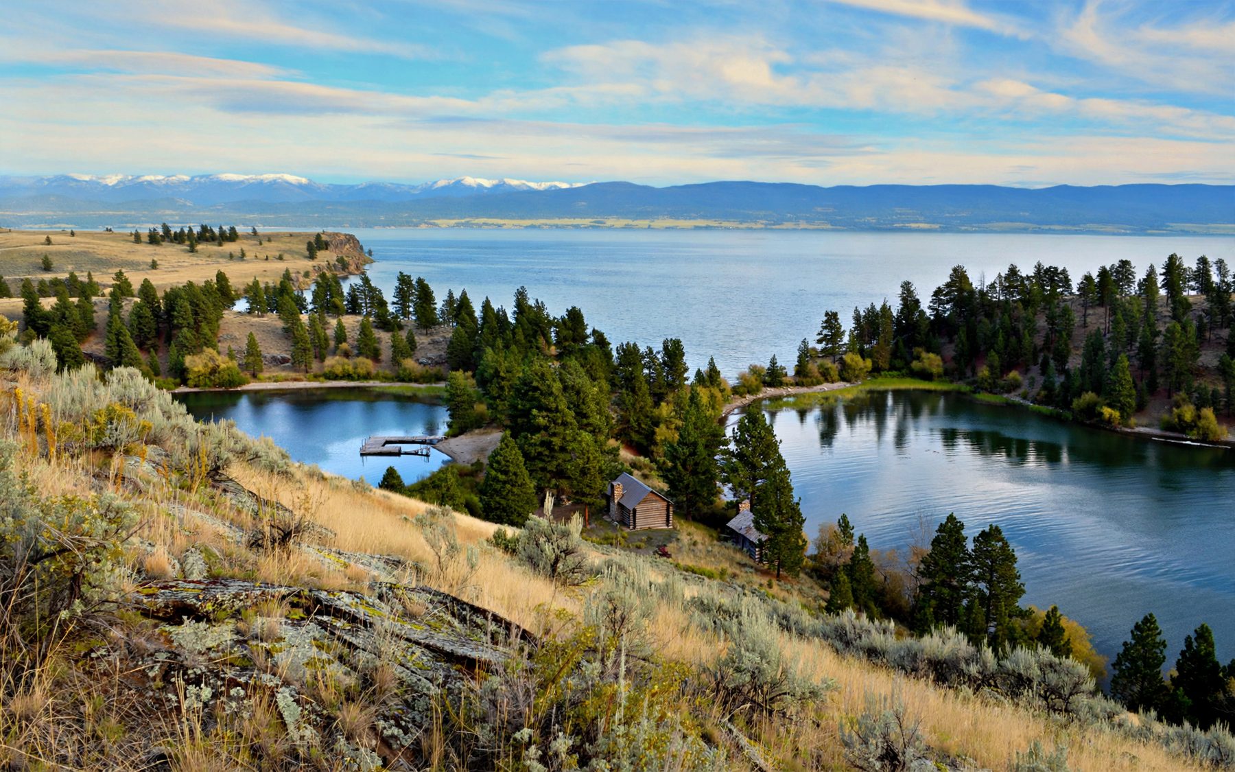
North of Big Arm, US 93 swings close to the west shore of Flathead Lake and runs past two small communities, Elmo and Dayton. Neither is much more than a cluster of houses, a few services and a bay, and that is the point. They are places to slow down, pull over and look across the water at one of the finest views in western Montana: the long east shore, the Swan Range, and to the south-east the Mission Mountains lifting straight out of the valley.
Both lie within the Flathead Indian Reservation, home of the Confederated Salish and Kootenai Tribes, and Elmo in particular has long been a centre for the Kootenai people on the reservation. Treat them as home towns, not stage sets, and they will repay a slow afternoon.
Elmo, at the turn of the road
Elmo sits on a bay of the same name, at the point where Montana Highway 28 leaves US 93 and heads west over the hills towards Hot Springs. The settlement spreads along the shore and up the slope behind it. The bay opens to the east, so mornings here bring the sun up over the far mountains and the water lights from silver to blue.
Every summer the Kootenai community at Elmo hosts a powwow, with dancing, drumming and visitors from across the region. Dates are set each year, so check before you plan around it. If you go, follow the guidance of the announcers and organisers, ask before taking photographs of people, and remember that some parts of the gathering are ceremonies rather than shows.
For the rest of the year, Elmo is a quiet place where the main event is the view. Find a safe place to pull off the highway and simply look: the open lake, Wild Horse Island to the south, and the long blue line of the mountains on the far side.
Dayton and its creek
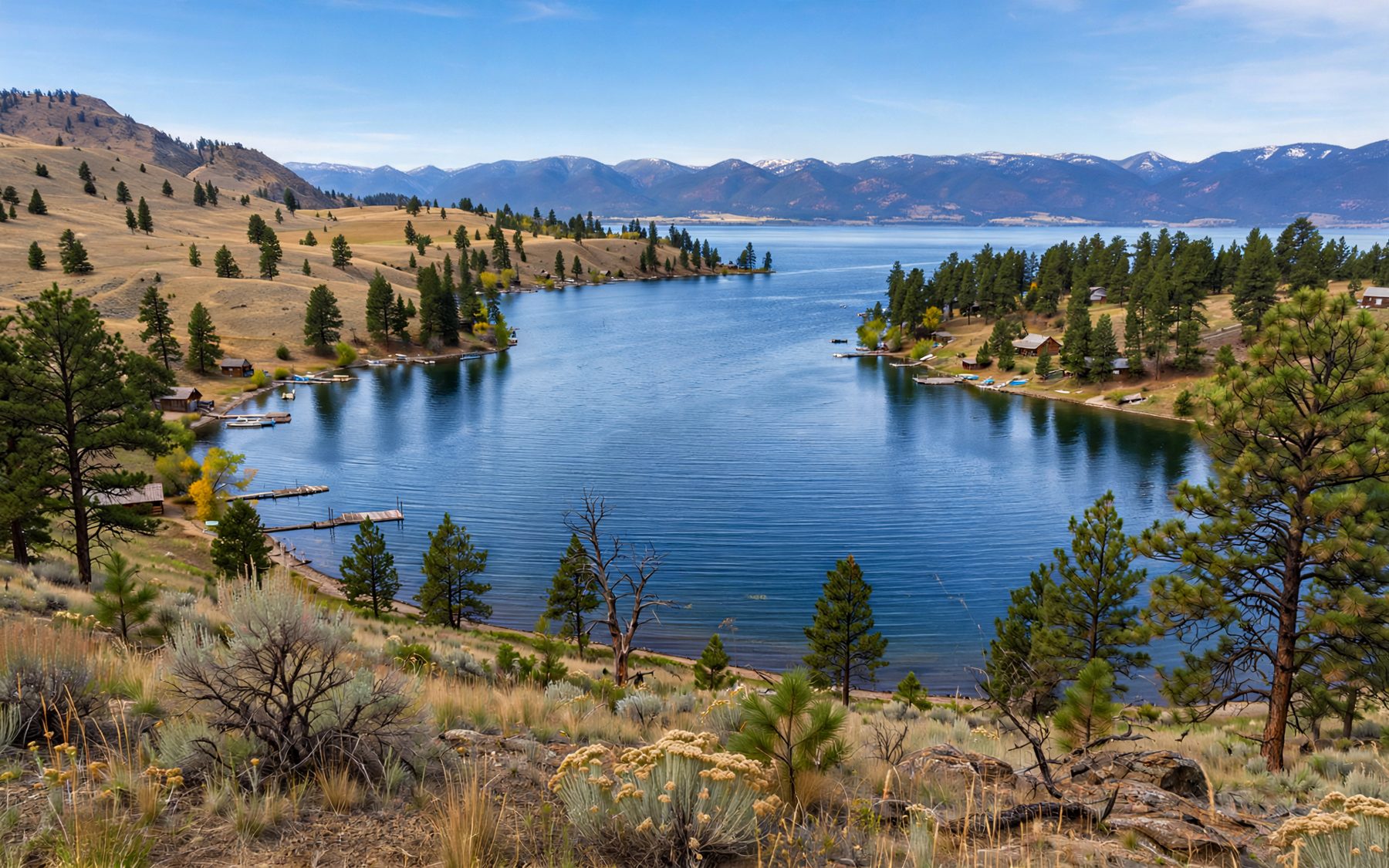
A little further north, Dayton sits at the mouth of Dayton Creek on a small, sheltered bay. Boats come and go from the docks here in summer, and the bay is a calm spot to watch them while the wind works on the open lake beyond the point. The hills behind the town are dry, open country of grass and ponderosa pine, with views back down the shore.
North of Dayton, the highway climbs and curves on towards Rollins and Lakeside, and the shoreline becomes steeper and more wooded.
2Big ArmPaddling the west shore from Big ArmThe view across to the Missions
The reason to linger on this shore is the angle. From the west side you see the east shore of the lake laid out end to end, and beyond it the Swan Range running north. South-east, past the foot of the lake, the Mission Mountains stand as a sharp, high wall, often streaked with snow into July. In the evening, with the sun behind you, the whole far side turns gold and then pink, and the lake goes still.
A pair of binoculars brings the far shore close: orchards on the slopes of the east side, boats crossing the open water, and the ospreys and bald eagles that fish all along this coast. Pullouts along the highway let you stop safely. Use them rather than the shoulder; traffic on US 93 is fast and constant in summer.
Where to get in the water
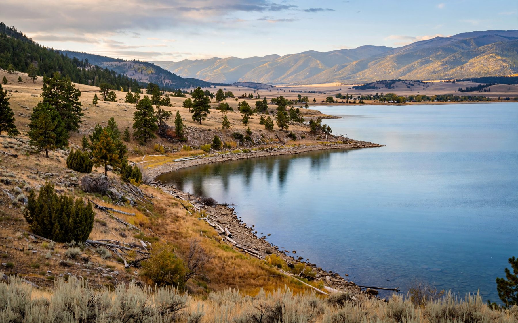
Much of the shore at Elmo and Dayton is private, so look for public access before you head for the water. Signs mark public launches and fishing access points, and the state park beach at Big Arm, a few minutes south, is the most reliable public place to swim on this stretch of shore. Read the posted rules wherever you go.
- The water: clear and very cold early in the season, merely brisk by late July and August.
- The bottom: pebbles and cobbles that are hard on bare feet; water shoes help.
- Timing: swim in the morning or late afternoon, when the light is soft and the wind often lighter.
- Boats: stay well away from launches and docks, where drivers may not see a swimmer.
Small boats and paddleboards are a fine way to see the bays, but the wind on the open lake can build quickly. The guide to paddling the west shore from Big Arm covers the conditions and the invasive species boat checks that apply here.
Permits on tribal land
The southern half of Flathead Lake and the land around Elmo and Dayton lie within the reservation, and the Confederated Salish and Kootenai Tribes manage hunting, fishing and recreation on tribal lands. For non-members, fishing on the reservation's part of the lake and using tribal lands for recreation such as camping or hiking generally require a tribal permit, sometimes with additional stamps. Many lands that look open are tribal or private.
The rules are clear once you look them up but they change over time, so check the current requirements with the Tribes before you fish or head off the highway onto tribal land. Simply driving the highway, stopping at public pullouts and swimming at public beaches needs no special permit.
Spending an afternoon
A good way to see this shore is to start the day at the Polson waterfront, drive north in the early afternoon with stops at Big Arm and Elmo, and reach Dayton in time for the evening light on the Missions. Bring a picnic, a swimsuit and a warm layer for when the sun drops. Late June and July bring green hills and long evenings; August brings the warmest water; September brings quiet roads and calm, clear days. Whenever you come, the view across the lake is the same reason people have stopped on this shore for generations, and it rarely disappoints.