Jewel Basin: alpine lakes above Bigfork
High in the Swan Range, a basin of small lakes is kept for people on foot. A rough road gets you most of the way up; a morning's walk brings the first cold, clear water.
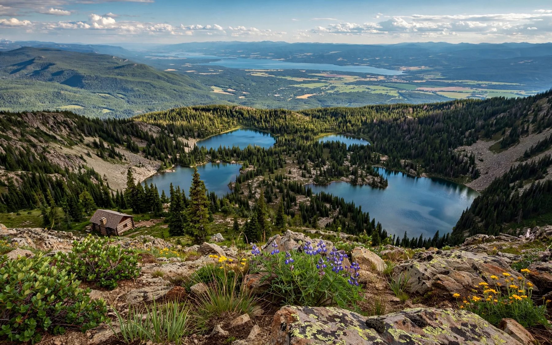
Look east from almost anywhere on Flathead Lake and the skyline is the Swan Range, a long wall of peaks running north to south above Bigfork and the orchard shore. Tucked into the northern end of that range, a few miles behind the village as the raven flies, lies Jewel Basin: a high, open country of ridges, meadows and more than two dozen small lakes, set aside in the national forest for walkers.
It is the easiest true alpine country to reach from the lake. A rough mountain road climbs most of the height for you, and from the trailhead the first lakes are a morning's walk away. The rest of the basin, with its loops, passes and summits, can fill as many days as you give it.
A basin kept for walkers
Jewel Basin is a designated hiking area within Flathead National Forest. Motor vehicles are not allowed beyond the trailhead, and the whole place is managed for people on foot, which gives it a rare quiet: no engines, only wind, water and the whistles of marmots and pikas from the rock piles. A network of trails links the lakes, mostly short distances apart once you are up in the basin.
The rules are designed to keep it that way, and they cover camping, fires, dogs and group sizes. They are reviewed from time to time, so read the current ones at the trailhead board or check with the national forest before you go. The simple habits hold everywhere: stay on the trails, camp only where allowed and well back from the water, and carry everything out.
The road up to Camp Misery
The trailhead is called Camp Misery, a name that tells you something about the road to it. From the Highway 83 side, north-east of Bigfork, signed gravel roads climb steeply up the west face of the range. The last stretch is narrow, rough and washboarded, with tight bends and long drops, and it is slow going in any car. Most ordinary vehicles manage it in dry summer conditions if driven with care; after rain, or early and late in the season, it can be much worse.
- Go early: the car park at the top is not large, and summer weekends fill it.
- Check the road: snow often blocks the upper section into early summer, and conditions vary from year to year.
- Fill up below: there is no fuel, water or phone signal to rely on at the trailhead.
From the car park you are already high on the mountain, with the forest thinning and the first views opening back over the Flathead Valley.
Lakes within a morning's walk
Several of the basin's lakes lie within a few miles of Camp Misery, close enough for a day walk with time to sit on the shore. Trails climb from the trailhead onto the ridges and then drop into the basin, where the lakes lie in rocky bowls fringed with subalpine fir and meadow. Birch Lake, the Picnic Lakes and Twin Lakes are among the names you will see on the trail signs, and each sits in its own small cirque.
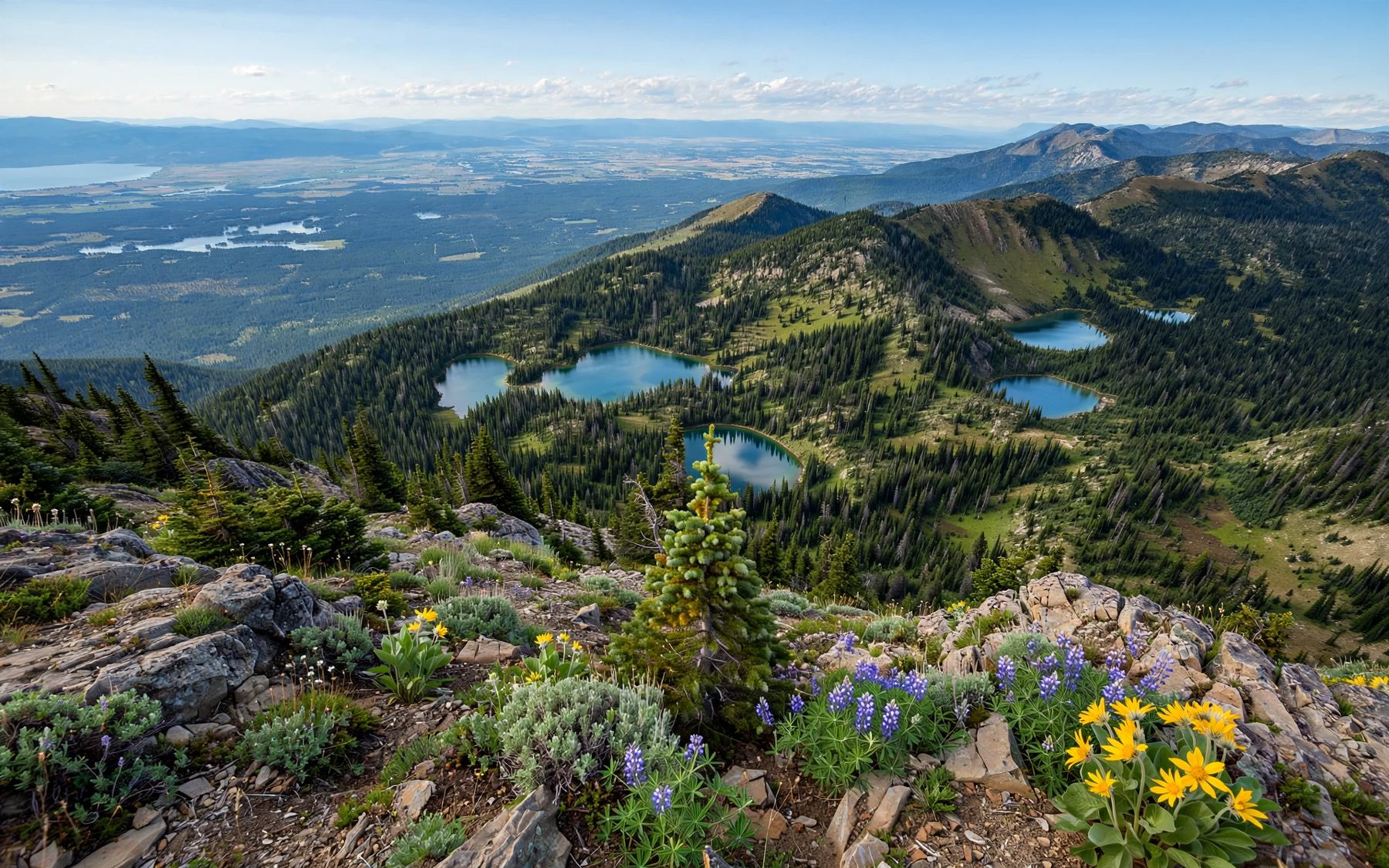
The water is the reason for the name. In good light the lakes run from green at the edges to deep blue in the middle, and on still mornings they hold a perfect copy of the ridge above. Cutthroat trout live in some of them; fishing follows Montana's state rules and needs a state licence. Swimming is a short, sharp business even in August.
Carry a map and know your route. Trails branch often, junction signs can be weathered, and in fog or cloud the ridges all look much alike. The walking is moderate rather than hard, but the climbs and descents add up, and the return to the car is uphill at the end of the day.
7Yellow Bay and the orchardsHow cold, how clear: the water of Flathead LakeThe view from Mount Aeneas
The highest point near the trailhead is Mount Aeneas, at about 7,500 feet, and a trail climbs towards its summit from Camp Misery. It is a stiff but straightforward ascent on a good path, with rocky ground near the top. On a clear day the view is enormous. West, the whole of Flathead Lake lies spread below you, the bays and islands sharp against the far hills. East, the land drops to Hungry Horse Reservoir and the wild ranges of the Bob Marshall country beyond. North, on the clearest days, the peaks of Glacier stand on the horizon.
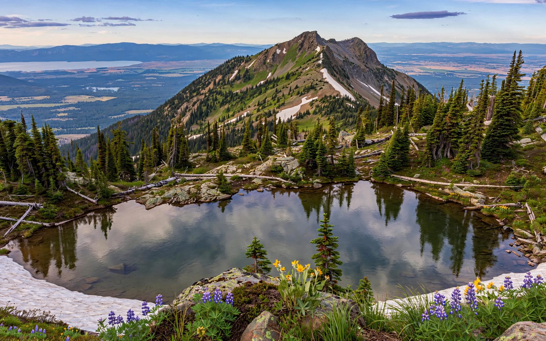
Wind is constant on the ridge, and storms build fast on summer afternoons. Start early, turn back if thunderheads tower to the west, and keep off the exposed summit when lightning is about.
Snow into summer
The basin's season is short. Snow lingers on north-facing slopes, in gullies and on the higher trails well into July, sometimes later after a big winter, and some lakes stay partly frozen into early summer. Crossing a steep, hard snowbank without the right gear and skills is one of the more common ways to get hurt in these mountains.
From mid-July into September the trails are usually clear, and the meadows flower in a rush once the snow goes: beargrass in some years, glacier lilies at the melting edges, and a long run of later blooms. Huckleberries ripen on the lower slopes in August. The first autumn snow can come in September, and the road may close again soon after.
Grizzly country
Jewel Basin is part of the wider country where grizzly bears and black bears live, and the berry patches and meadows draw them in late summer. Carry bear spray where you can reach it in a second, practise with it before your trip, and make noise in thick cover and on blind corners. Keep food, rubbish and anything with a scent under control at all times, and follow the forest's food storage rules if you camp. Mountain goats also live in the range; give them plenty of room too.
A day in the basin pairs well with a slower one by the water. Walk the Swan River trail at Bigfork below the mountains the next morning, or drive down the east shore when the cherry stands are open in late summer and cool off afterwards. For a different kind of west-side forest, the Trail of the Cedars in Glacier is a gentler outing a little further north.