Trail of the Cedars and the climb to Avalanche Lake
On Glacier's wet west side, a level boardwalk winds through cedars centuries old. Cross the gorge at its far end and a forest path climbs to a lake under falling water.
lens
GlacierNPS · Public domain

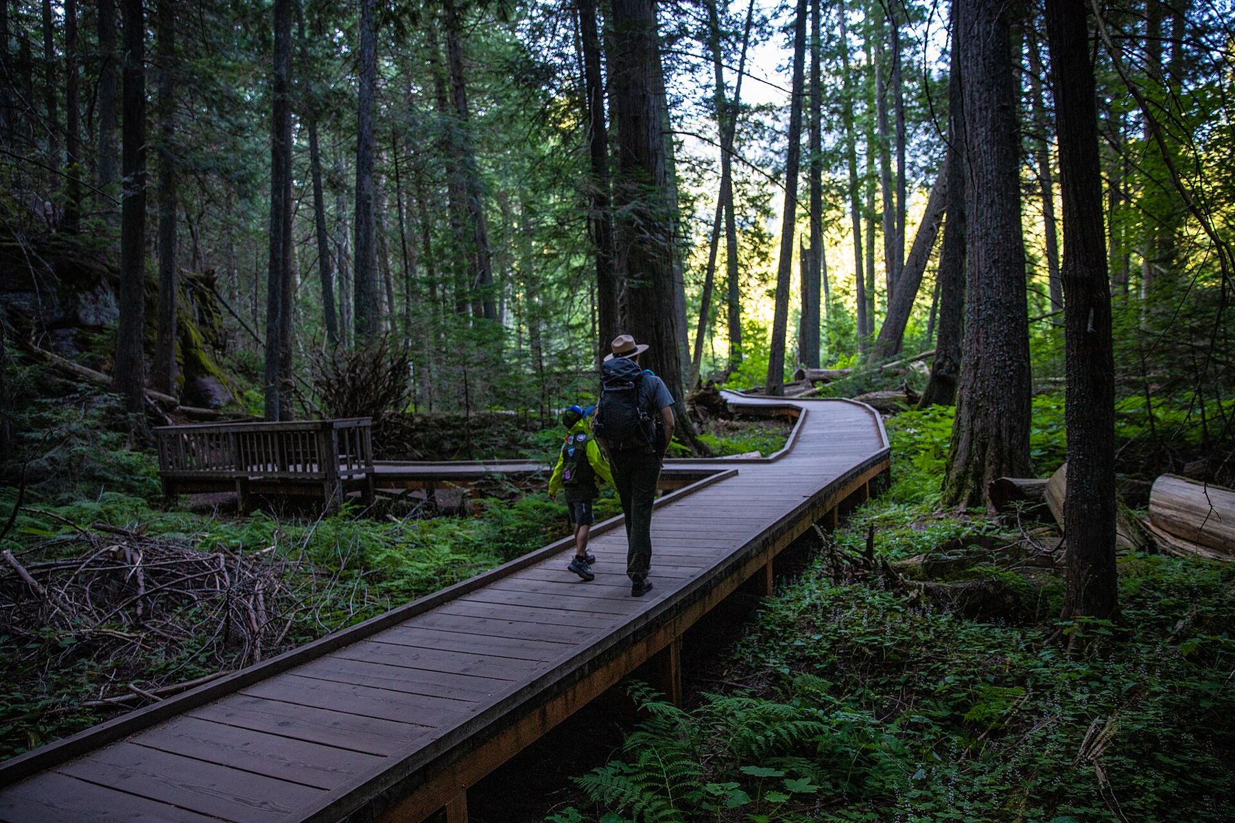
Glacier's west side catches more rain and snow than almost anywhere else in Montana. Moist air from the Pacific drifts in over the lower country to the west, meets the Continental Divide and drops its load on the valley of McDonald Creek. The result, a few miles past the head of Lake McDonald, is a forest that looks as if it belongs on the coast: western red cedar and western hemlock, some of them centuries old, standing over ferns, moss and fallen trunks.
Trail of the Cedars is the easy way into that forest, a short loop that almost anyone can manage. At its far end, Avalanche Creek cuts a narrow red gorge, and a footpath leaves from there for Avalanche Lake, a bowl of green water under cliffs and waterfalls. Together they make one of the finest half-days on this side of the park.
A rainforest a long way from the sea
The cedars are the reason to come. Western red cedar grows huge and slowly, with fluted, reddish bark and drooping sprays of flat, scaly foliage, and this grove lies near the eastern edge of the tree's range. Many trunks along the loop are too wide for two people to reach around, and the oldest are thought to be several hundred years old. Hemlock fills the gaps, recognisable by its nodding tip and finer needles.
Fallen giants lie everywhere, some with their root plates standing on edge taller than a person. As they rot, they become nurseries: look for straight rows of young hemlock growing along the back of a dead cedar. Under the canopy the air is cooler and damper than out on the road, it smells of wet wood, and on an overcast day the green is so deep that noon feels like evening.
Once around the loop
The loop is roughly a mile long and close to level, built partly as boardwalk raised over the wet ground and partly as paved path. It was laid out to be accessible for wheelchairs and pushchairs, which makes it one of the few places in the park where everyone in a family can walk into old forest together. Allow forty minutes to an hour if you read the signs and stop to look up.
- Go the quieter way round. Most people set off in the same direction from the car park; walking the other way puts you against the flow and gives you more empty boardwalk.
- Look down as well as up. The forest floor is thick with ferns, mosses and lichens, and the stumps are gardens of their own.
- Stay on the boards. The ground is soft and the roots shallow; stepping off them wears away what the walk is there to show.
Where the creek cuts the rock
At the east end of the loop, a footbridge crosses Avalanche Creek just below the point where it bursts out of a slot in the rock. The creek has worn down through red argillite, the same ancient mudstone that colours the pebbles on the shore of Lake McDonald's coloured stones, into a chain of smooth bowls and chutes. The water runs a startling blue-green, carrying fine rock flour down from the snowfields above.
It is a beautiful place and a dangerous one. The rock beside the creek is polished, wet with spray and often mossy, and the current inside the gorge is strong and cold. People have been swept away here. Admire it from the bridge and the trail, keep children close, and never climb down to the water's edge.
↑Glacier's west gateLake McDonald's coloured stones, before the crowds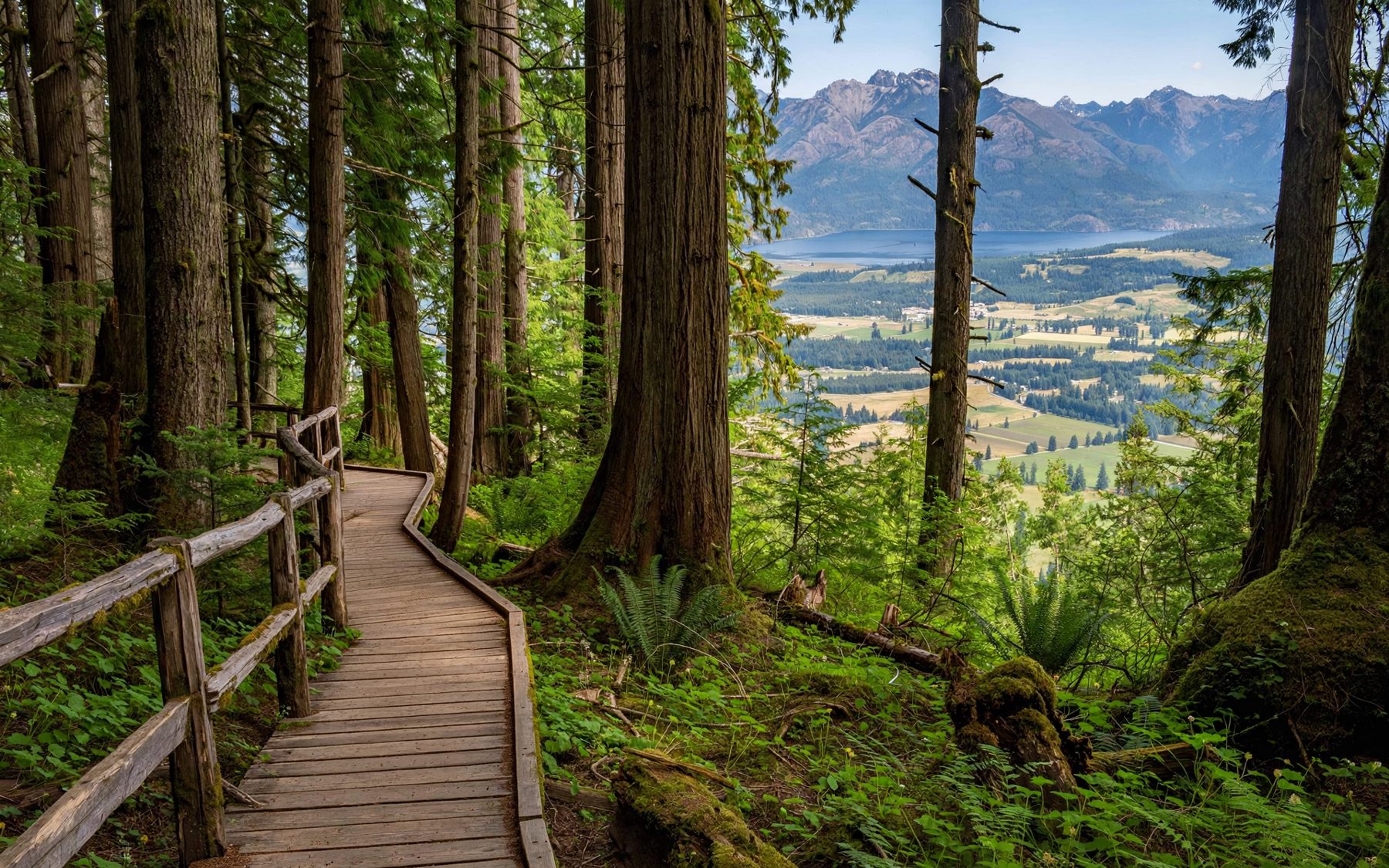
Up through the forest to Avalanche Lake
From the gorge, the Avalanche Lake trail branches off and climbs gently through the cedar and hemlock beside the creek. It is about two miles each way from the loop, with a steady gain of a few hundred feet, and most walkers take an hour or a little more to reach the lake. The path is dirt and roots rather than boardwalk, sometimes muddy, and busy on summer afternoons.
The forest thins near the top and then opens all at once at the foot of the lake. Cliffs rise on three sides, and in early summer several waterfalls ribbon down them from the snow and ice hidden above. The lower end of the lake is shallow, with a gravel beach and a jam of grey logs; a path continues along the shore towards the head for a quieter view. The water is very cold even in August. Sit on the gravel, eat lunch and give the mountains an hour before you walk back down the same way.
Bears in the cedars
Grizzly and black bears both use this valley, and the thick undergrowth and the roar of the creek make it easy to surprise one. Thimbleberries and other berries ripen beside the trail in late summer, which brings the bears closer still.
- Carry bear spray on your belt or chest strap, not in your pack, and know how to use it before you set out.
- Talk, call out or clap where the creek is loud and the brush is thick, especially at bends.
- Walk in a group where you can, and keep children between adults.
- Read the notices at the trailhead. The park closes trails for bear activity, sometimes at short notice.
- If you meet a bear, do not run. Back away slowly and give it room.
The race for a parking space
The trailhead lies on the Going-to-the-Sun Road above Lake McDonald, and its car park is small for the number of people who want it. In July and August it can be full by mid-morning and stay full until evening. In recent summers the park has also required a vehicle reservation for parts of the road at busy times; the system changes from year to year, so check the current rules well before you travel and have your park pass ready.
Early starts solve most of it. Leave the lake country before dawn and you can walk the loop in the cool, reach Avalanche Lake while the water is still, and be on your way down as the crowds come up. Evenings work too, though the light goes early under the trees. The weeks before the whole road opens for the season, and the quiet of late September, can be the most peaceful of all; check which sections are open before you go.
How the hours fall
From the shore of the cold, clear Flathead Lake it is a long drive north, so make the most of it. Walk the cedars and the lake trail in the morning, stop at the Apgar shore on the way back for the stones, and you have seen the best of the park's west side in a single day. If forest walking gets into your blood, the alpine lakes of Jewel Basin above Bigfork are a bigger hike closer to home, with the same rules about bears.