Where the lake leaves: the Flathead River gorge
A few miles below Polson, the river that drains Flathead Lake drops into a narrow rock gorge. A tribal dam spans it, and an overlook lets you look straight down.
lens
Alpenglowmt · CC BY-SA 3.0
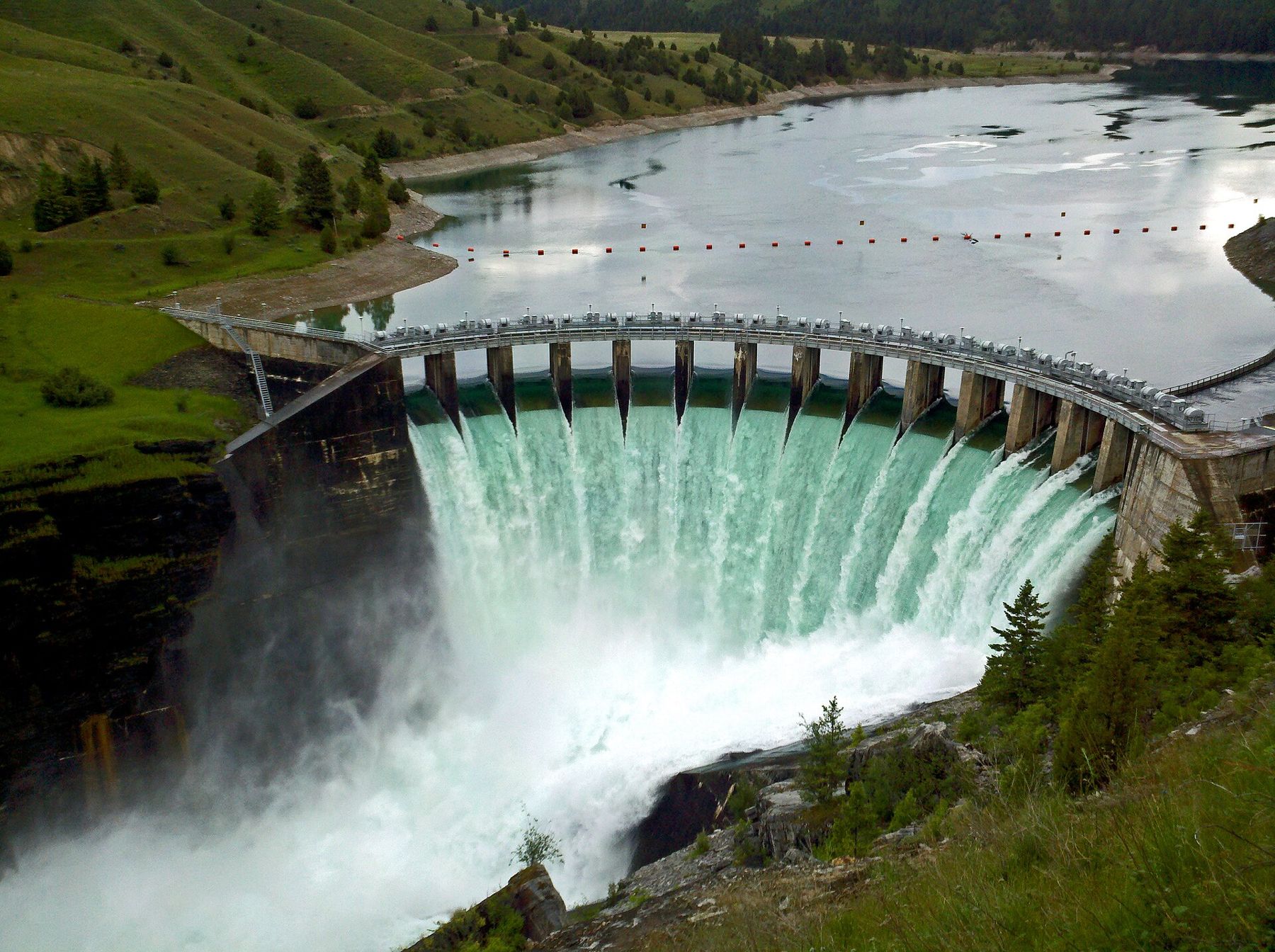
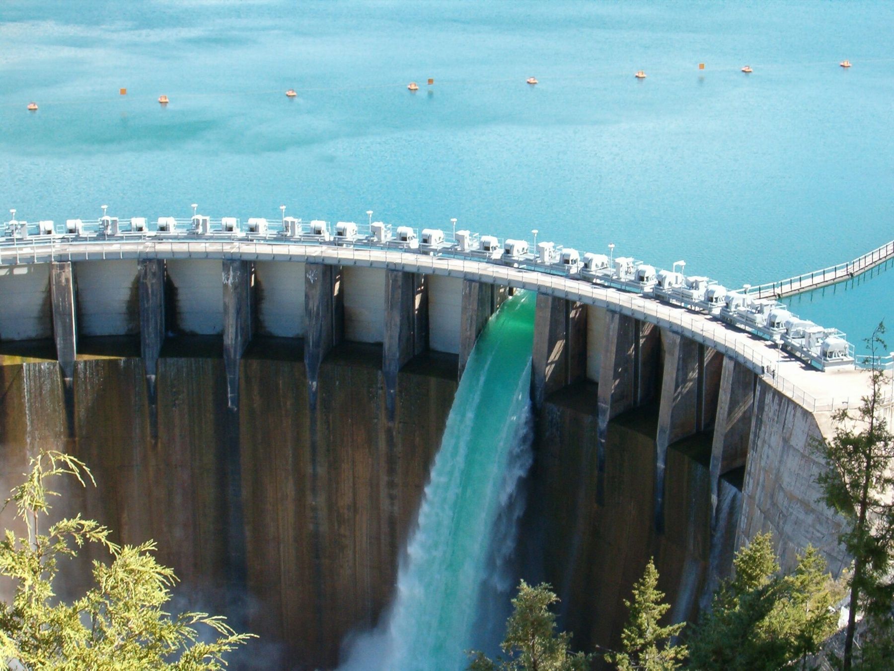
Every drop that leaves Flathead Lake leaves at Polson. The bay at the foot of the lake narrows, slips under the highway bridge and becomes the Flathead River, which runs a short way through open country before it plunges into a gorge of dark rock. There, wedged between the walls, stands the dam that the Confederated Salish and Kootenai Tribes own and operate: the Seliš Ksanka Qlispe' Dam, built in the 1930s and long known as Kerr Dam.
It is one of the shortest outings around the lake and one of the most striking. From the end of a quiet road, a path and stairway lead down to a viewpoint above the gorge, where you see the concrete arch, the spillway and the river boiling away below. Allow an hour or two.
From bay to river
Start in town. From the bridge on the west side of Polson you can see the lake become a river: the current tightens, the water darkens and the banks close in. The river then bends away from the town through hay fields and low hills. This is the natural outlet of the lake, though the dam downstream now governs how high the lake stands. The top of Flathead Lake is held within a managed range through the year, filled in early summer and drawn down over winter, which is why the beaches in Polson look so different in May and in March.
If you want the whole picture, combine this trip with a walk along the Polson waterfront, then drive out to the gorge in the afternoon.
A dam with two names
The dam was built by a power company in the 1930s on reservation land and named Kerr Dam. For decades the Tribes received rent for the site while the power went elsewhere. Under the terms of the federal licence, the Tribes gained the right to take the dam over, and in 2015 they did, a rare case of a tribal nation owning and running a major hydroelectric dam. They gave it the name Seliš Ksanka Qlispe', which draws on the names of the Salish, Kootenai and Pend d'Oreille peoples in their own languages.
Both names are still in use around the valley, and you will see the old one on some road signs and maps. Using the tribal name alongside it is a small courtesy that most people in Polson will recognise.
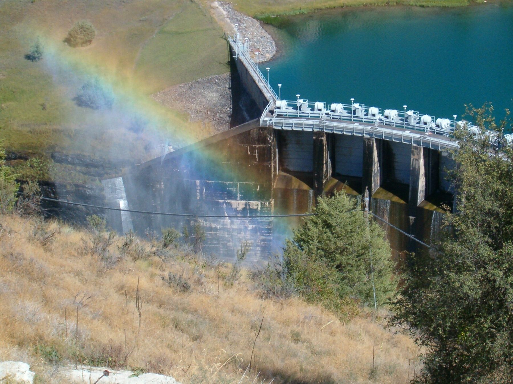
The dam itself is not open for tours, and the works around it are fenced. You see it from above, from the public viewpoint, which is the better view anyway.
lens
Paul Frederickson · CC BY 2.5
The road and the overlook
From Polson, follow the signs south-west for the dam on Kerr Dam Road. The road runs out across open grassland with the Mission Mountains behind you, then drops towards the river and ends at a small parking area. From there, a path leads to the rim and a long set of steps goes down the slope to a viewing platform.
- The climb back: the steps are steep and many. Take your time and carry water on a hot day; the slope faces the afternoon sun.
- Footing: the rock and path can be loose or icy outside summer. Wear proper shoes.
- Railings: stay behind them. The drop into the gorge is sheer, and the water below is deadly.
- Facilities: there are few or none. Use the restrooms in town before you go.
From the platform you look down into a slot of rock where the river is forced through the spillway and powerhouse. In late spring, when snowmelt fills the lake and the river runs high, water may pour over the spillway gates and the gorge fills with roar and spray. In late summer and autumn the scene is calmer but the scale stays the same: the rock walls, the curve of the concrete and the green river sliding away downstream.
lens
Paul Frederickson · CC BY 2.5
What lives in the gorge
The cliffs and the open slopes around the gorge are good country for wildlife. Watch for ospreys and bald eagles working the river, and ravens riding the updrafts off the rock. Mule deer graze the grasslands above the rim, especially at dawn and dusk. Bighorn sheep live in the hills along the lower river, and you may be lucky enough to see them on the slopes nearby; give them distance if you do.
In spring the grassland at the top flowers with balsamroot and other wildflowers, and the meadowlarks sing from the fence posts. It is worth walking a little way along the rim before you go down the steps, simply to take in the open country the river cuts through.
Below the dam wall
Below the gorge, the lower Flathead River winds south and west through the reservation for many miles before it joins the Clark Fork far to the south-west. It is big, cold water with long quiet stretches and some serious rapids in places, especially in the first miles below the dam when flows are high. Floating it is for experienced boaters who know the river or go with someone who does.
The lower river lies on tribal land. Fishing, camping, floating and other recreation along it generally need a tribal permit for non-members, and some areas are closed to the public. Check the current rules with the Tribes before you plan anything beyond the overlook.
Flows downstream can change quickly with releases from the dam. Never wade or swim in the river close to the dam, and keep children well back from any bank.
Which month, and how many days
Late May and June bring the highest water and the loudest gorge, along with green hills and wildflowers. July and August are hot and dry, so go in the morning or evening when the light is softer and the stairs are cooler. September and October are calm and golden, with the cottonwoods along the river turning yellow.
In winter the road may be snowy or icy and the steps hazardous; check conditions in Polson first and do not go down if they are icy. Most people spend about an hour here, including the climb back up. Pair it with an afternoon on the lake, perhaps a drive up the west shore to Elmo and Dayton, and you have an easy day that shows you both ends of the same water: the wide, still lake and the narrow, loud river it becomes.