The Mission Range from the valley floor
The Mission Mountains rise straight out of the farmland south of the lake. Visit the painted church at St. Ignatius, watch birds on the Ninepipe potholes, and drive the back roads slowly.
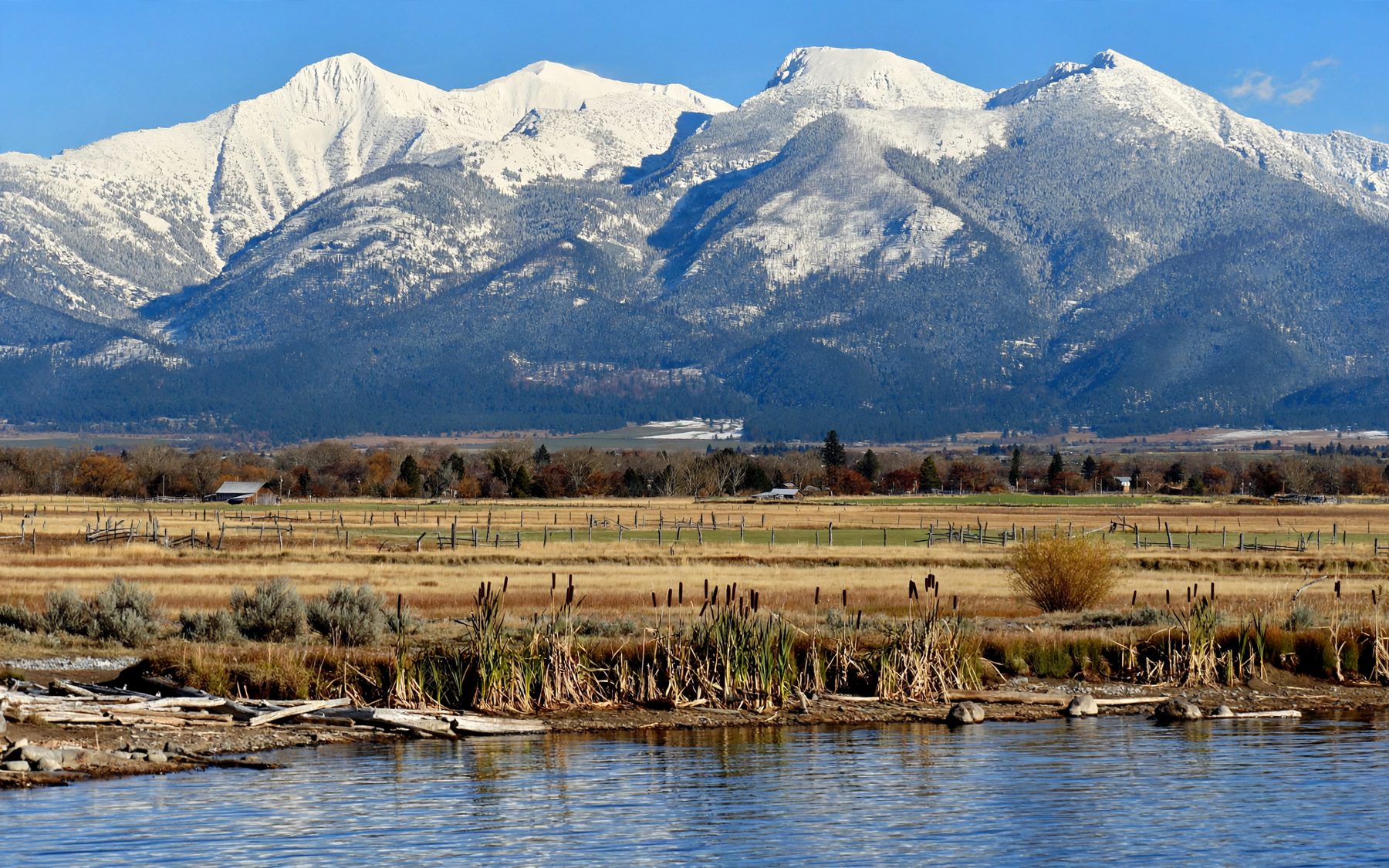
Leave Polson heading south on US 93 and within minutes the lake is behind you and the Mission Valley opens ahead: a broad floor of hay fields, pasture and scattered farms, dotted with small ponds. On the left the Mission Mountains rise in one great sweep, from the fields straight up to snowy peaks, with almost no foothills in between. It is one of the most striking mountain fronts in the northern Rockies, and the valley floor is the place to see it whole.
The valley lies within the Flathead Indian Reservation, home of the Confederated Salish and Kootenai Tribes. Its towns are small, its roads are straight, and its two best stops are an old mission church and a country of glacial ponds full of birds.
A wall with no foothills
The Mission Mountains are a block of ancient rock tilted up along a fault, which is why their western face rises so abruptly from the valley. The highest summits stand well over nine thousand feet, thousands of feet above the fields, and they hold snow into summer. Glaciers once poured out of their canyons onto the valley floor, and small glaciers and snowfields still cling to the high basins.
The light on them changes all day. In the morning the west face is in shadow, dark blue under a bright sky. By afternoon the sun lights the snow and the rock, and in the evening the whole range turns gold and then rose. Any pull-out along the highway gives you the view, but the back roads east of the highway bring you closer, with farms and fences in the foreground.
The mission and its painted walls
The town of St. Ignatius grew up around a Catholic mission founded in the valley in 1854, at the invitation of Native people who had met Jesuit missionaries. The brick church that stands there now was built in the early 1890s, with bricks made from local clay. Its plain outside gives little warning of what is within.
Inside, the walls and ceiling are covered with paintings: dozens of murals of biblical scenes and saints, painted in the early twentieth century by Brother Joseph Carignano, a Jesuit brother who worked at the mission and had no formal training as an artist. The colours are rich and the scale is surprising in a small valley town. Nearby stand older log buildings from the mission's early years.
The church is an active parish, not a museum. Visit quietly, dress respectfully, keep away during services unless you are attending, and follow any posted guidance about photographs. A donation helps with the care of the building.
↓Mission ValleyThe Bison Range under the Mission MountainsNinepipe's ponds
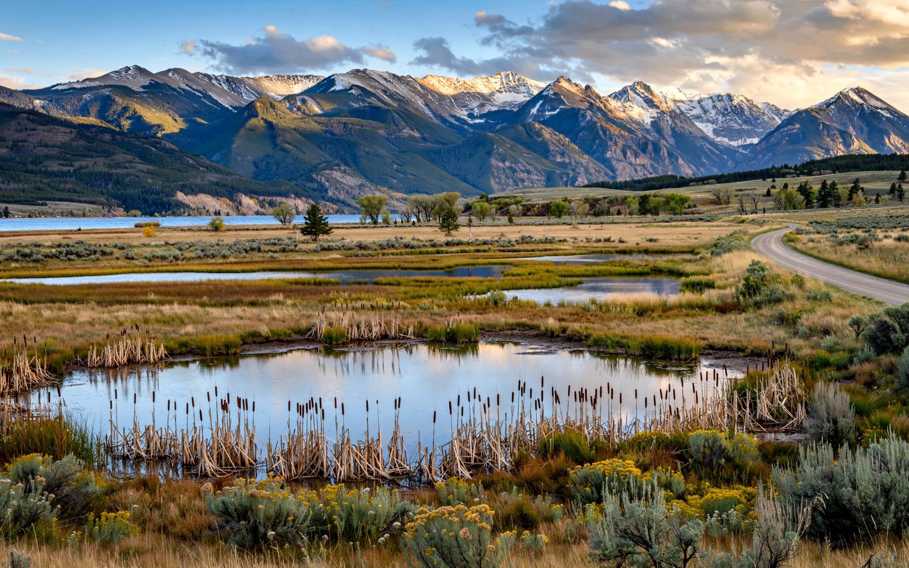
North of St. Ignatius, between Charlo and Ronan, the valley floor is pitted with hundreds of small ponds. These are glacial potholes: when the ice retreated, it left buried blocks of ice in the gravel, and as they melted the ground sank, leaving hollows that filled with water. Around a reservoir in their midst lies the Ninepipe National Wildlife Refuge, surrounded by other lands managed for wildlife by the Tribes and the state.
It is some of the richest bird country in western Montana. In spring and early summer, ducks, geese, grebes and coots nest in the reeds, yellow-headed blackbirds call from the cattails, and northern harriers glide low over the grass. Short-eared owls hunt the fields at dusk. In autumn the ponds fill with migrating waterfowl, and in winter hawks and eagles sit on the poles and fence posts above the snow. With the Missions reflected in the water on a still morning, it is also one of the finest views in the valley.

Parts of the area close during the nesting season, and different lands carry different rules. Read the signs at each pull-out and parking area, stay on the roads and marked walks, and use binoculars rather than walking towards the birds. Hunting seasons apply in autumn.
Manners on open range
Much of the valley is working farm and ranch land, and parts of it are open range, where livestock may wander onto unfenced roads. Drive the back roads slowly, especially at dusk, and treat any cattle on the road as having the right of way. Cattle guards, the metal grids across the road at fence lines, are there to keep animals in.
- Gates: leave any gate as you found it. Better still, do not go through gates at all unless you know you are on public land.
- Fences: do not climb them. Most of the land behind them is private or tribal.
- Stopping: pull fully off the road, never in a gateway or on a narrow bridge.
- Dogs: keep them in the car near livestock.
Into the mountains, with permission
The west face of the Mission Mountains is protected as the Mission Mountains Tribal Wilderness, set aside by the Confederated Salish and Kootenai Tribes and often described as the first wilderness area designated by a tribal government. Hiking, camping and fishing there by non-members need a tribal permit, and parts of the high country close in summer to give grizzly bears room to feed undisturbed. Check the current rules and closures with the Tribes before you plan a walk, and carry bear spray whenever you leave the valley floor.
For most visitors, the mountains are best enjoyed from below. Pair a morning here with the bison and grasslands of the Bison Range under the Mission Mountains, a little further south-west, then drive back north to Polson and finish at the gorge where the lake leaves, or out along the small bays of the west shore for an evening view of the same mountains across the water.